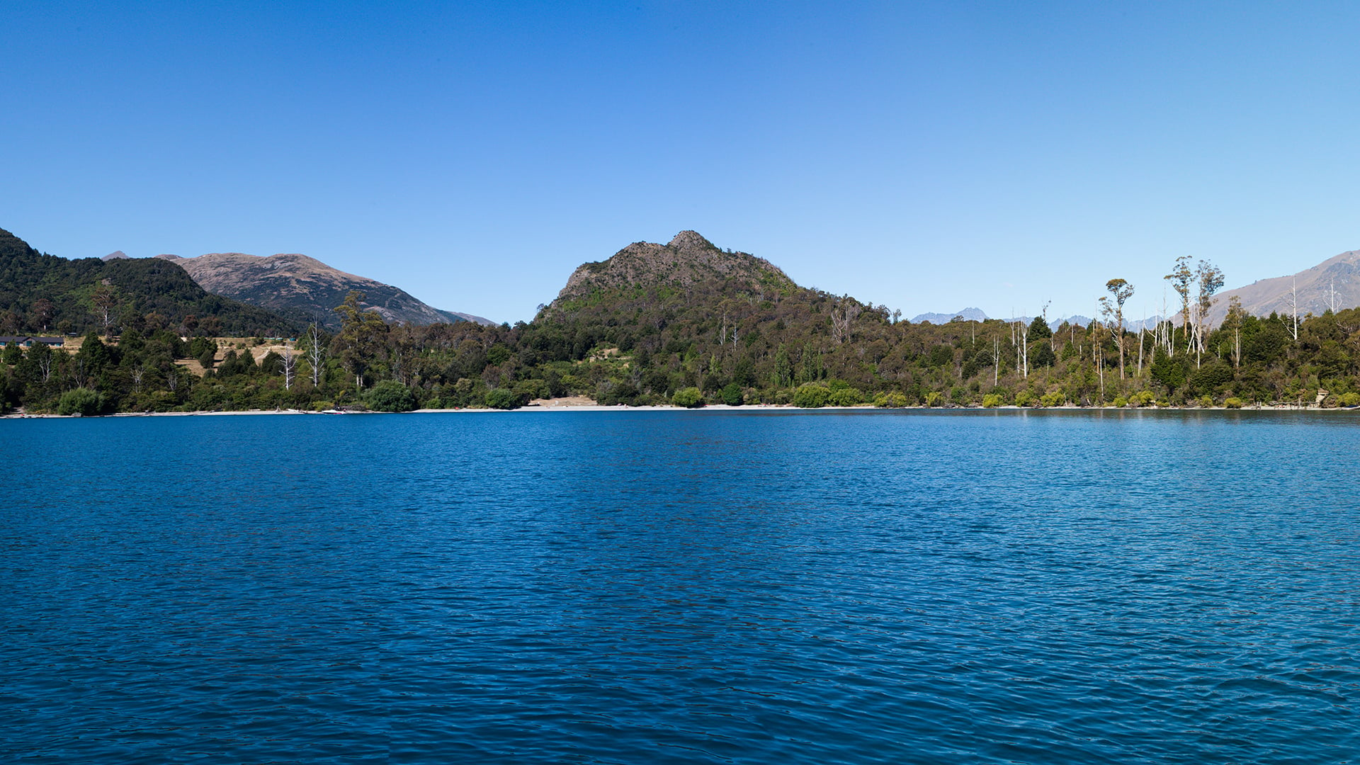
Visual Impact Simulations
VICAP transforms layers of complex contour, engineering, and environmental data into a single, rock-solid visual you can stand behind. It’s not just a polished photo-montage - it’s a survey-accurate, reality-based glimpse into how the human eye will truly experience changes to a landscape.
Trusted Visualisations for Critical Projects
VICAP is the benchmark for fact-based, survey-accurate visual impact simulations, providing clients with objective, photo-real representations for capital projects and planning processes. Every VICAP undergoes rigorous quality-assurance checks, ensuring project teams can make decisions with confidence, supported by accurate and defensible visual evidence.
Wind visual simulation
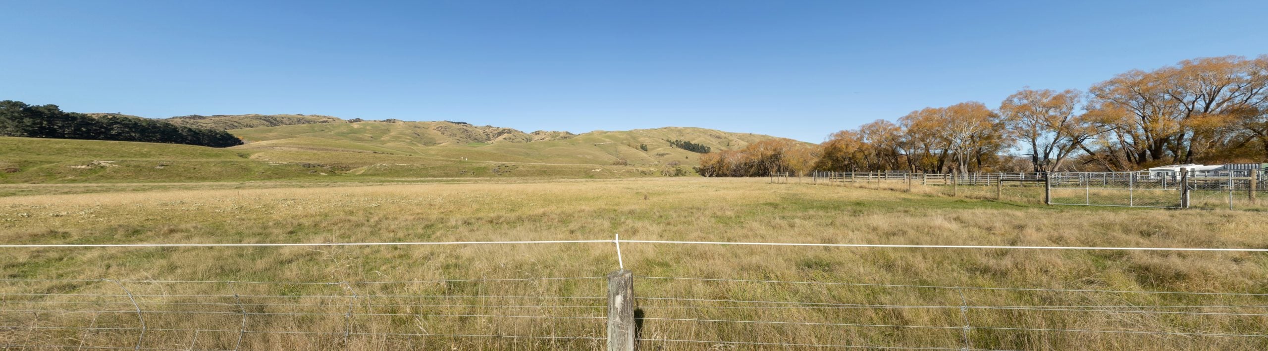
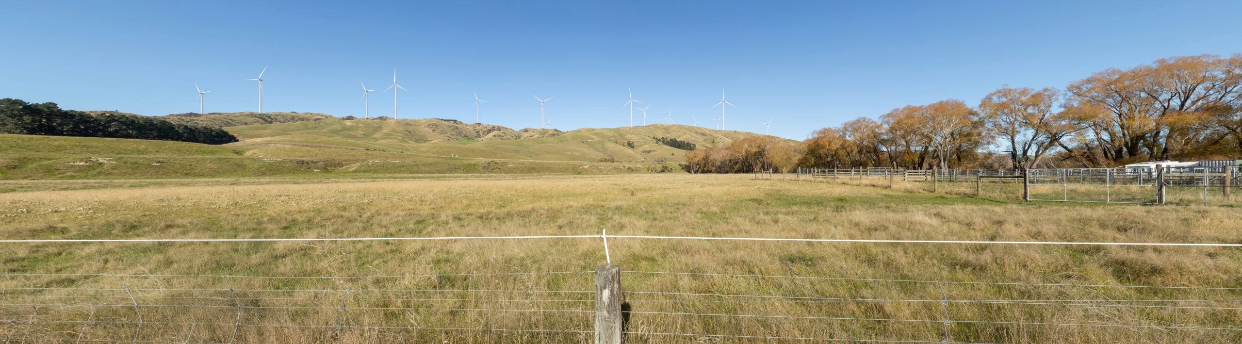 BeforeAfter
Transmission visual simulation
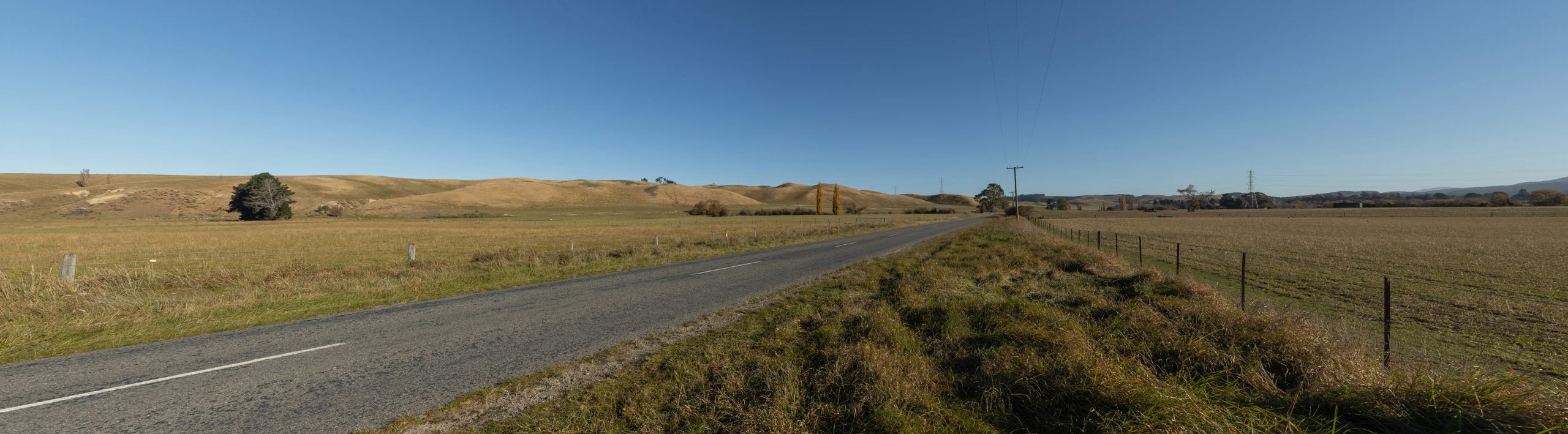
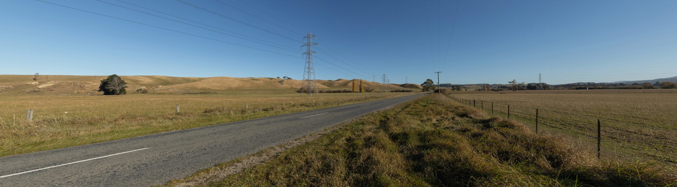 BeforeAfter
VICAP 360° - The Complete Picture
Our 360° simulations provide a fully immersive way to experience a proposed project, allowing stakeholders to explore a location from every angle as if they were standing within it. Unlike traditional static images, they offer a comprehensive understanding of scale, spatial relationships, visibility, and context, helping viewers better appreciate how a development will integrate with its surroundings.
Request a no obligation consultation.